Cycle Routes & Maps
We have some wonderful cycle routes in Derby, whether you're commuting to work or riding for fun. See below for links to a host of resources to help you plan your journey...

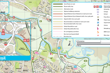
Active Travel Map for Derby - 2021
Click below to download a copy of the brand new Active Travel Map for Derby!
This map has been updated to include the latest Cycle Routes, plus information on getting more active in and around Derbyshire.
As soon as printed copies are available to pick up, we will let you know via the usual channels.
National Cycle Network
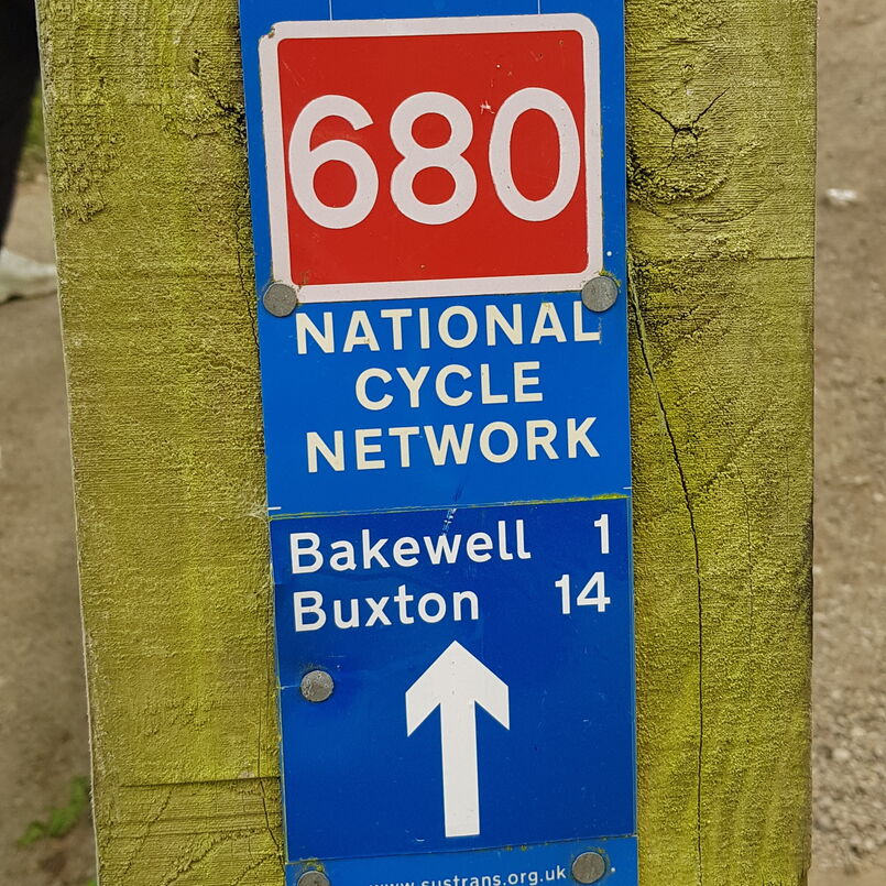
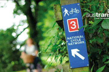
Sustrans are the custodians of the National Cycle Network (NCN), a network of paths that extend 16,500 miles across all parts of the UK.
Derbyshire has 3 NCN cycle routes and 2 regional routes to explore.
Click the button below to access route information and maps.
Cycle Route Planning
The Sustainable Transport charity Sustrans offers a free personalised cycle route service for those wishing to travel to work or look for new job opportunities by bike.
Contact them by email for information and support on: access@sustrans.org.uk
British Cycling also offer resources on planning your cycle route, you can access this information here, or by clicking the link below.
For planning family cycle routes, Bikeability has a useful resource you can access here, or by clicking the link below.
Interactive Online Cycle Map
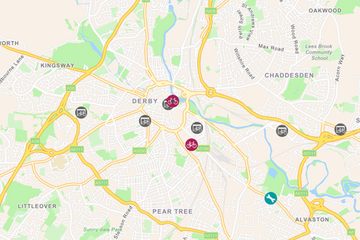
You can access an interactive online cycle map, created for keyworkers during the Covid-19 pandemic by Sustrans, showing the cycle services available in your local area.
Simply enter your postcode for details of bike shops that are still open, cycle equipment, cycle repair and maintenance and cycle loan or hire services.
Click below to access this map.

